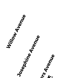
74 PEARSON AVE
Owner Information
VENTURO PAUL A
4 JEREMIAH CIRCLE
MEDFORD, MA 02155


Property Details
74 PEARSON AVE is classified as a Two-Family Residential (Two family).
The primary structure on this property was built in 1920. There are 5,207ft2 of built area within this property. There is 3,372ft2 of residential/living space within this property. This property is listed as having 13 rooms.
74 PEARSON AVE is valued at $1,243,800. The land is valued at $661,700 and the structures are valued at $582,100.
This property is in Zone NR. Confirm with local Zoning Board authorities to ensure there are no overlays or other easements on this property.
The most recent deed for 74 PEARSON AVE is recorded at the local registrar in Book 50191, Page 111. 74 PEARSON AVE was last sold on Thursday, October 4, 2007 for $1.
Assessment data from fiscal year 2021.
Flood Data
According to the FEMA National Flood Hazard Layer, this property does not appear to be in a flood zone. It may also be in an area not yet reviewed. Nonetheless, confirm this information prior to taking any action.
To view the flood hazards around this property, create a FEMA "Firmette" Map of the area around 74 PEARSON AVE.
Broadband Internet Providers
| Provider | Type | Bandwidth (mbps) | |
|---|---|---|---|
| Viasat Inc | Satellite | 100 | 3 |
| HughesNet | Satellite | 25 | 3 |
| VSAT Systems, LLC. | Satellite | 2 | 1 |
| Verizon New England Inc. | DSL | 10 | 1 |
| RCN | Cable | 1000 | 20 |
| Comcast | Cable | 1000 | 35 |
| RCN | Cable | 500 | 20 |
| Starry, Inc. | Fixed Wireless | 200 | 200 |
| GCI Communication Corp. | Satellite | 0 | 0 |
Broadband service provider data from December 2020.
Adjacent Properties
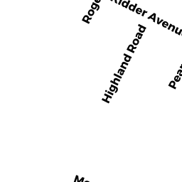
- 87 HIGHLAND RD #1
Residential Condominium owned by HOGGATT JONATHAN G & AMBER F - 87 HIGHLAND RD #2
Residential Condominium owned by JAHN ERIC & LARA - 87 HIGHLAND RD
Other, Open Space owned by None - 78 PEARSON AVE
Two-Family Residential owned by PICCOLO SEBASTIAN J - 68-70 PEARSON AVE #1
Residential Condominium owned by TURNER RICHARD J & WRIGHT ELIZABETH A - 68-70 PEARSON AVE #3
Residential Condominium owned by OJALVO LAUREEN S & MAGLIONE PAUL J - 68-70 PEARSON AVE #2
Residential Condominium owned by BOUDREAU NANCY L & GARY A - 68-70 PEARSON AVE
Other, Open Space owned by None - 77 HIGHLAND RD
Single Family Residential owned by ST ANGELO DAVID & AMY - 83 HIGHLAND RD
Single Family Residential owned by CANNATA ELISSA M